01 · LodestarOrbit
Where to point the satellite.
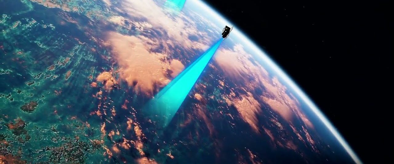
Meridian scores every area of interest by how much a new hyperspectral capture would change the answer. Then it tasks the capture over the best one.
How Lodestar works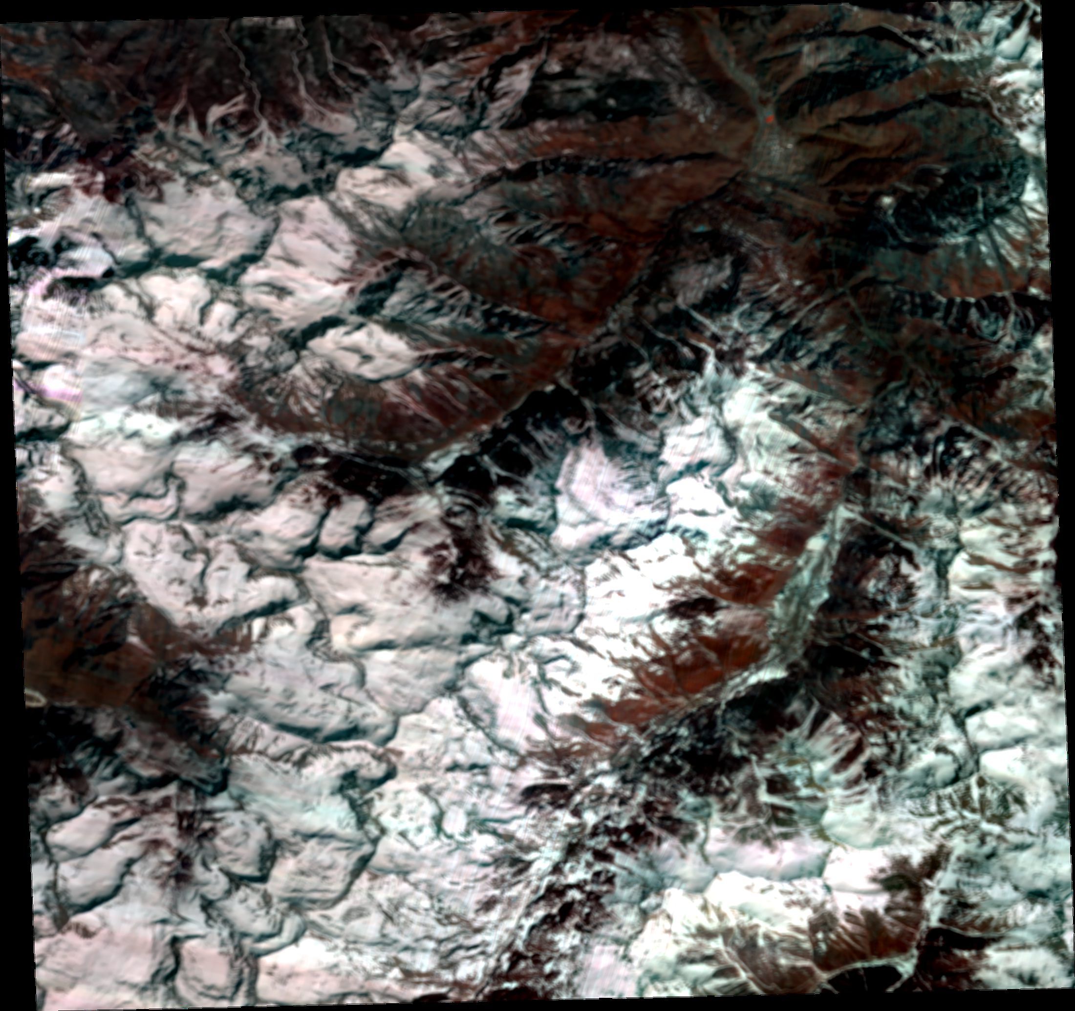
The operating system for strategic resources
Active learning decides what to measure next, at every scale. Coactive points hyperspectral satellites at the areas that matter, sends field teams to the samples that change the answer, and designs the lab experiments that settle it.
Why now
In 2025 the U.S. was 100% import reliant for 13 critical minerals and more than half reliant for 20 more. China is a major source for 14 of those 33.
Finding more deposits is not the bottleneck. Knowing what a site can actually produce, and how cheaply, is.
Source: USGS Mineral Commodity Summaries 2026. Final 2025 List of Critical Minerals, excluding metallurgical coal and uranium.
One operating picture
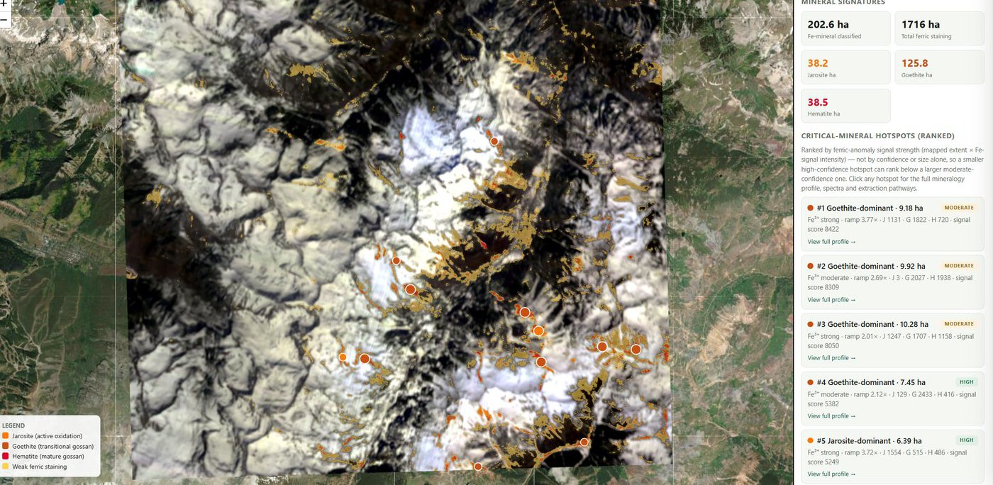
Orbit imagery, mineral signatures, terrain and legacy records, field samples, lab assays, and decisions, registered to the same ground. Every decision traces down through the layers to the measurements that made it.
01 Imagery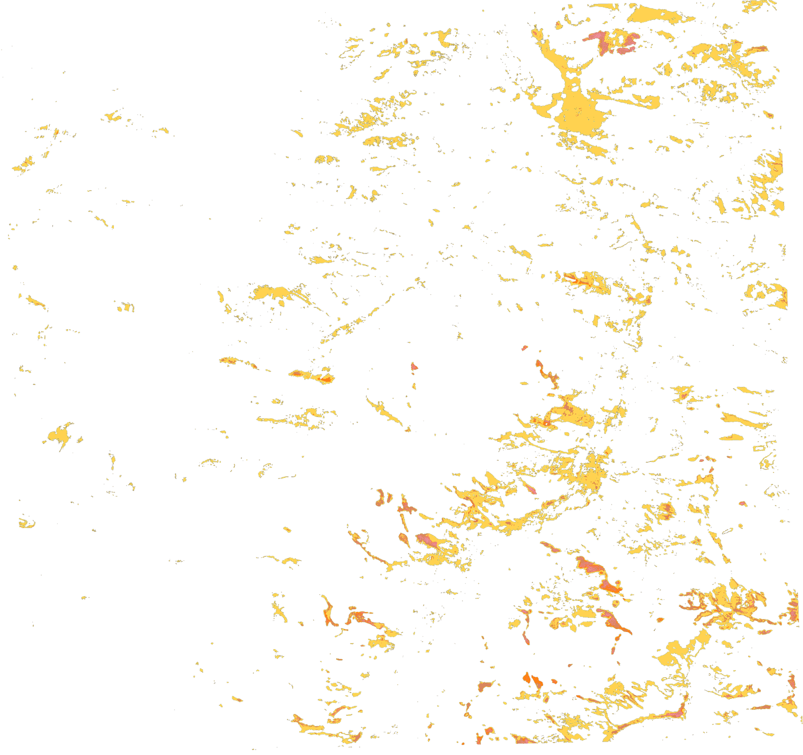 02 Signatures
Active learning All the way down
Meridian scores every area of interest by how much a new hyperspectral capture would change the answer. Then it tasks the capture over the best one.
How Lodestar worksInside the new scene, the same rule ranks every candidate site by expected information. The field team collects the few that change the ranking.
Watch it decideIn the lab, the same rule picks the next batch of conditions. Autonomous runs execute them and report back in days and weeks instead of months.
Inside CrucibleA lab result sharpens the site. The site sharpens the scene. The scene decides where the satellite looks next.
Meet MeridianOperate it
Meridian keeps a live queue of the next measurements worth making: satellite captures, field samples, and lab runs, ranked by how much each would change the decision. Captures and field work wait for a person. Lab runs execute on their own. Every result lands back in the picture and re-ranks the queue.
Illustrative interface running a simulation. Imagery, signature layer, and target positions are real (San Juan district, density peaks of the detected signatures). Rankings, timings, and results are simulated. Click a target to inspect it, or approve a field sample yourself.
Try it
This is the rule at field scale. The same rule points the satellite and designs the lab batch. One hidden deposit, forty-eight samples, the same blurry orbital prior. The grid walks the map in order. Active learning samples where the answer is least certain and most valuable, and updates after every result.
Illustrative simulation, not field data. Both panels share the same Gaussian-process model, the same noisy orbital prior, and the same budget of 48 samples; only the sampling rule differs. An upper-confidence rule stands in for Meridian's policy, which also weighs the cost of each measurement and the decision it serves.
On the ground
Two resources, one loop
Domestic sites found, characterized, and qualified before anyone drills. The permitted Camp Bird and Revenue-Virginius mines are in the loop today.
Critical metals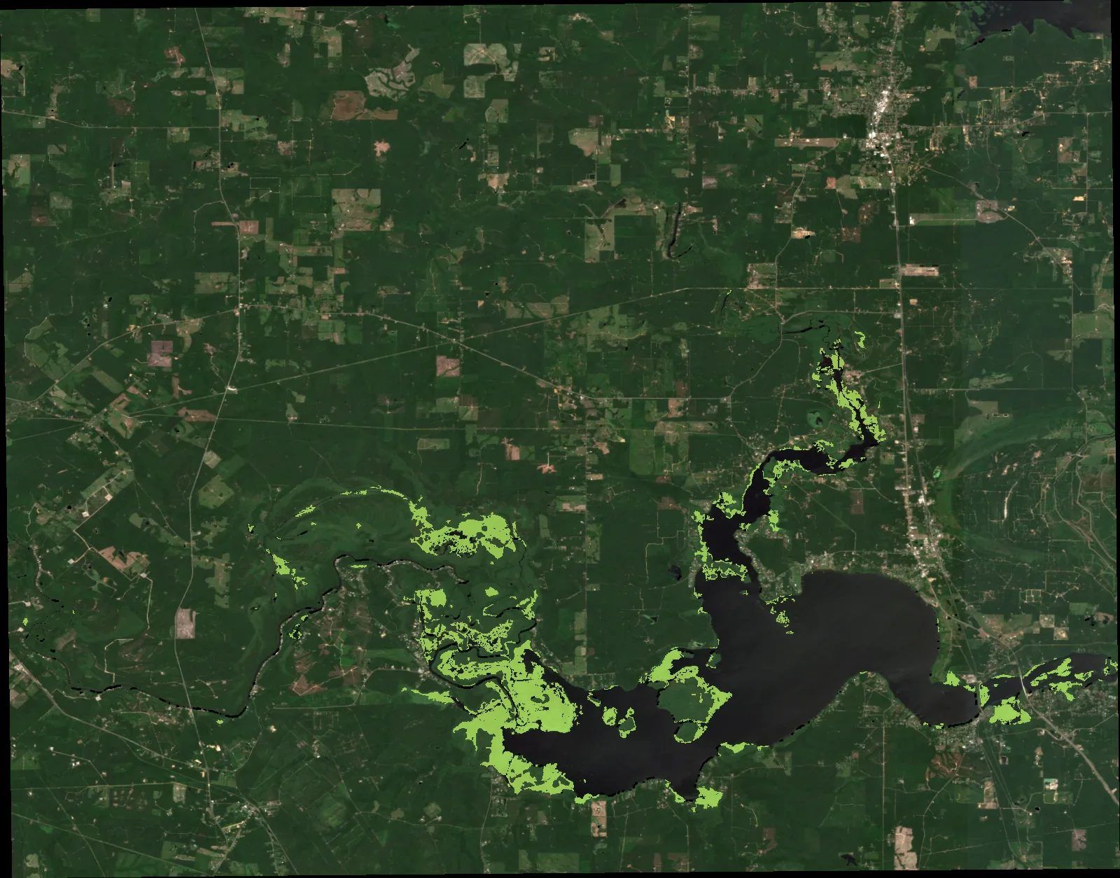
The resource under every other resource. Blooms, invasive species, and water quality, seen from orbit and confirmed in the water.
WaterCrucible · Ouray, CO · Reno, NV
Labs in Ouray, Colorado and Reno, Nevada, close to the rock they measure. XRF, ICP-OES, fire assay, pulverizing, drying, and separation, with Meridian choosing every run. Partner cells at PNNL and NLR extend it.
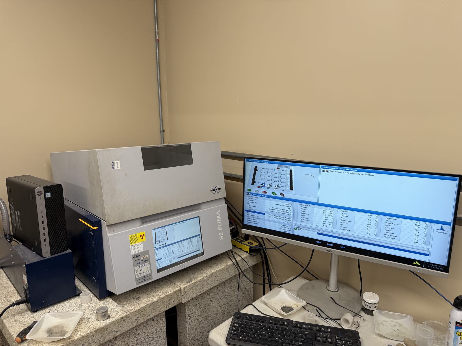 XRFQueued
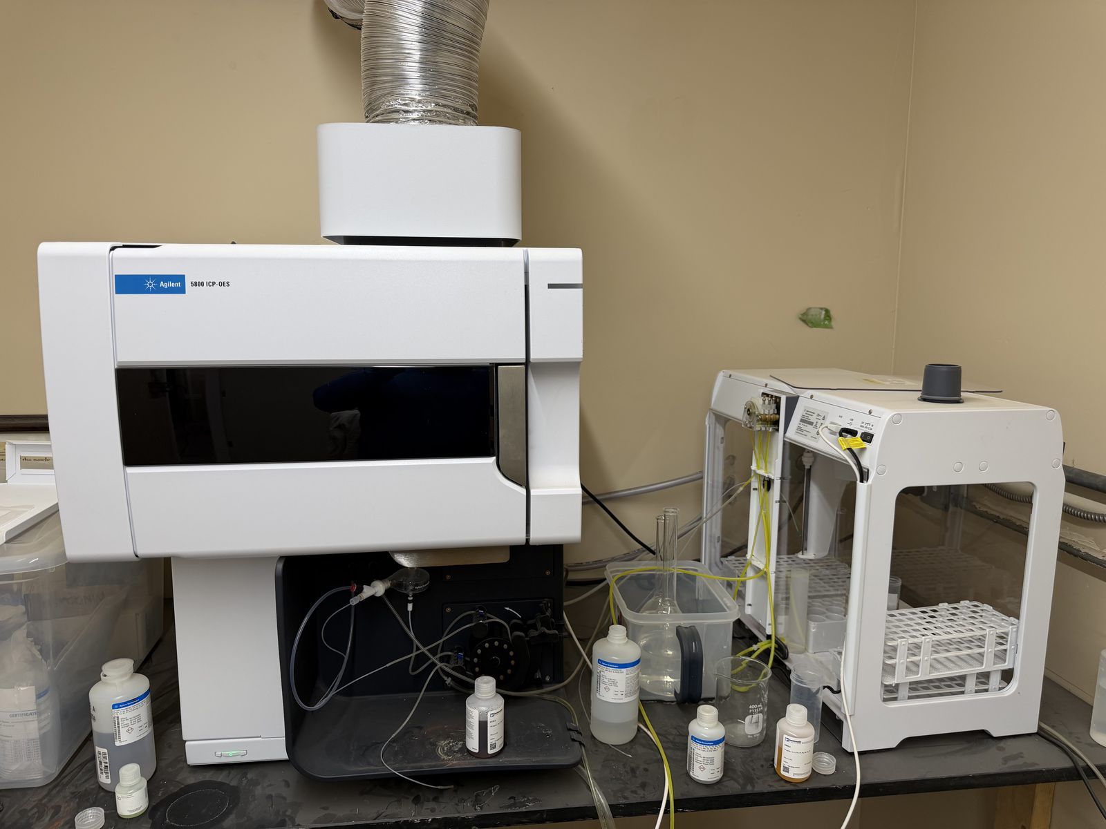 ICP-OESQueued
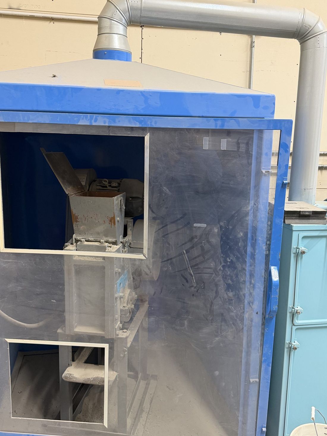 PulverizerQueued
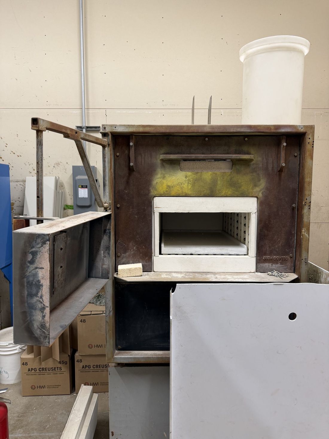 FurnaceQueued
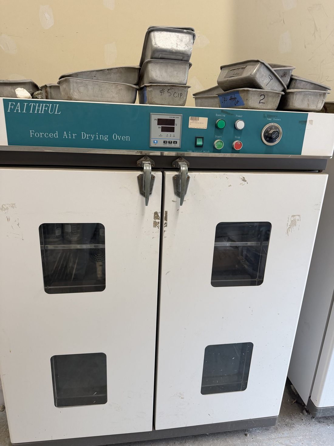 Drying ovenQueued
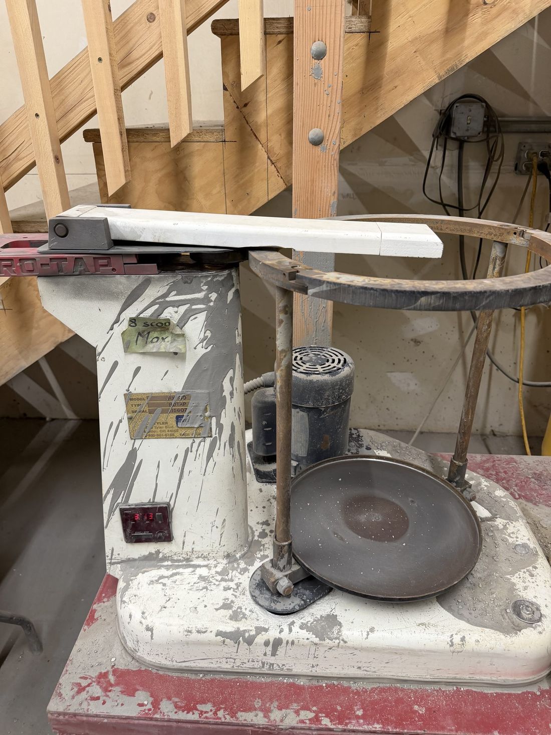 CentrifugeQueued
Photos: Ouray lab, 2026. Instrument readouts are illustrative.
All of it starts with what a nation can find, verify, and run. Metals to build with and water to cool with sit upstream of every system that matters. Coactive works upstream.
Watch
Contact
Tell us the resource, the area, and the decision. We reply with whether Coactive can help and what a first screening would look like.
Or email us directly at info@coactive.science
Seattle, WA · Washington, DC · Ouray, CO · Reno, NV